Off the beaten path in BC’s Interior
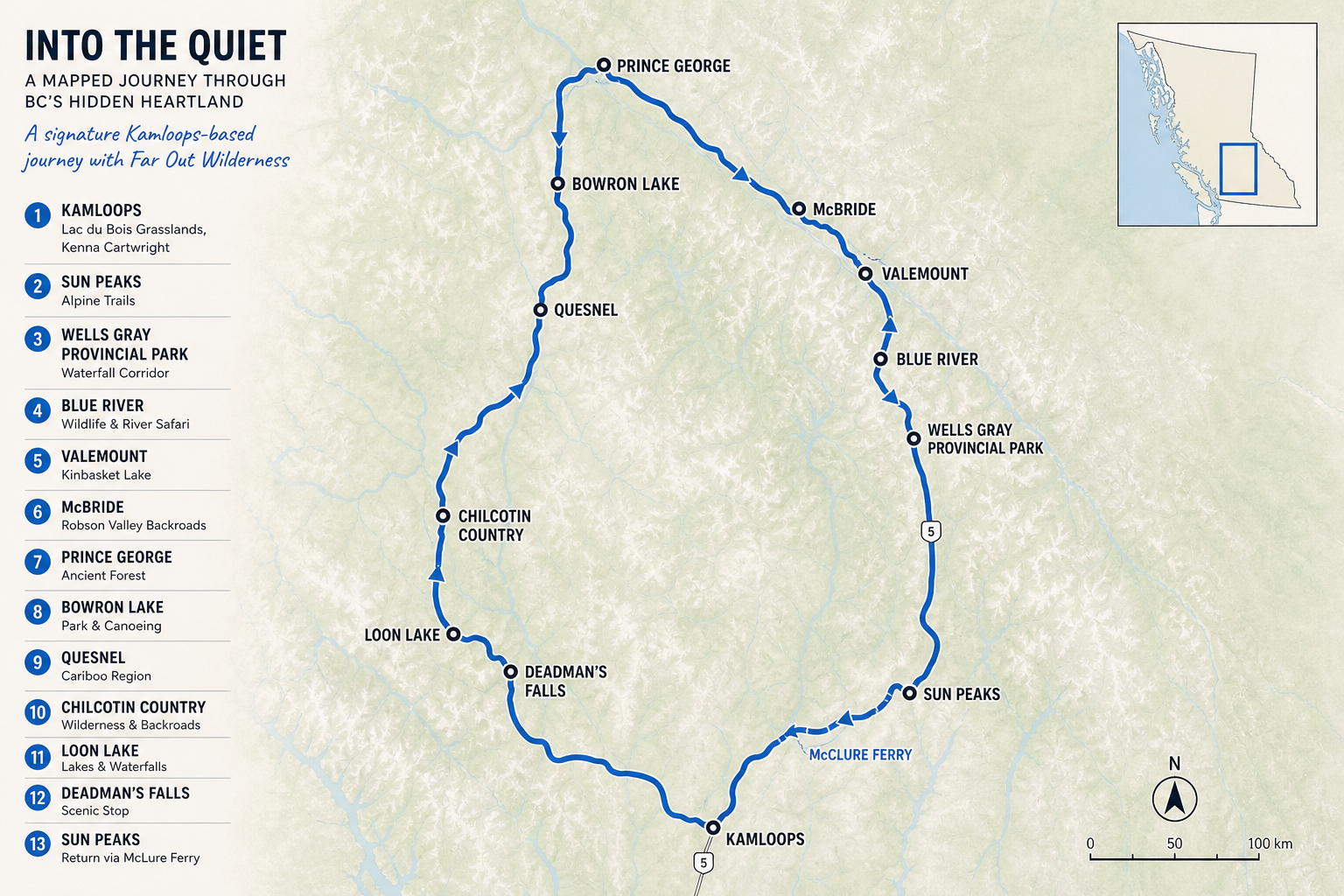
This 10-day itinerary will take you to some of central BC’s most impressive spots. Less-travelled locations like Wells Gray Provincial Park, remote regions of the Canadian Rockies, and more provide an amazing experience to those looking for a quieter adventure
Kamloops
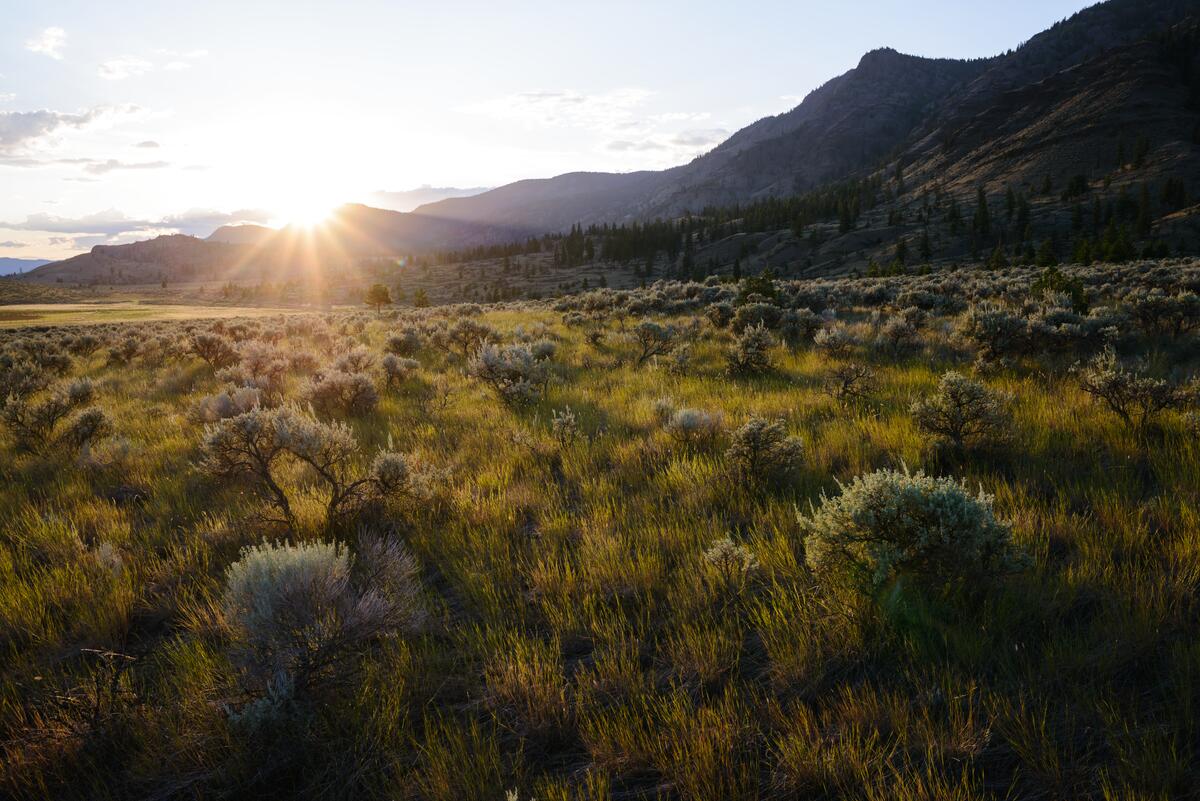
Start early in the Lac du Bois Grasslands while the light is soft and the air is cool. Hike up Battle Bluff for wide-open views over the river and rolling hills, or take the quieter Mara Canyon Loop if you’d rather stay among the folds of the landscape. By midday, head back into Kamloops for lunch at The Noble Pig or a picnic in Riverside Park, then take a wander along the River’s Trail and through downtown.
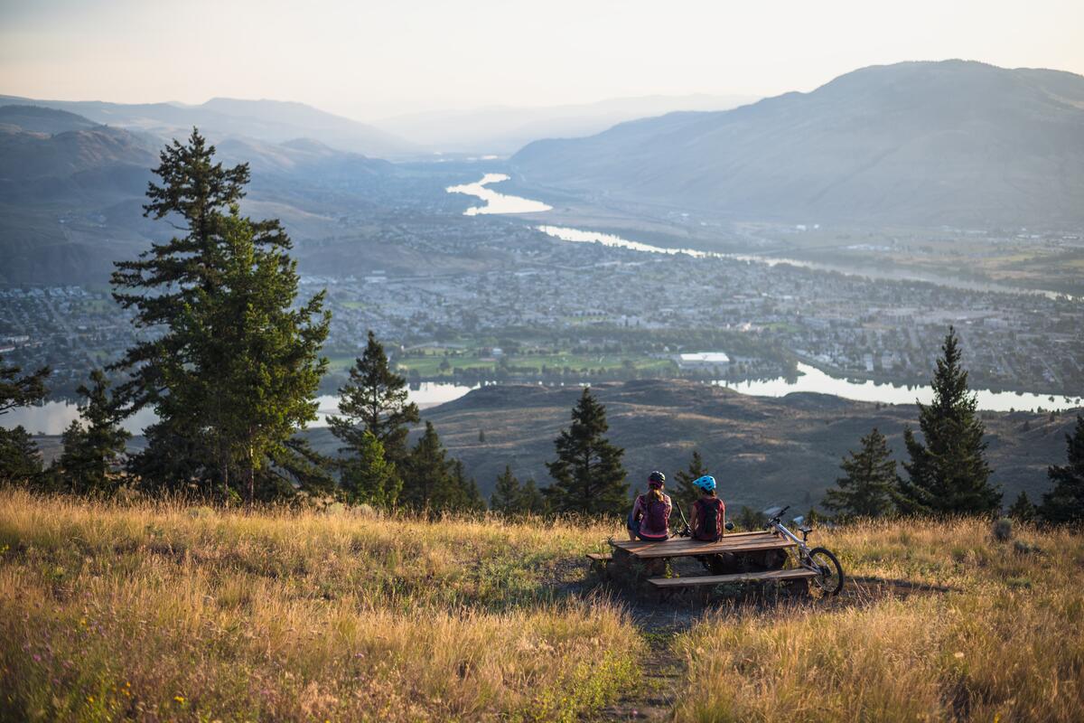
In the afternoon, choose your pace. Take a scenic bike ride on the dry, technical trails around Pineview, or slow things down with a paddle on one of the nearby lakes. As the day softens, make your way up to Kenna Cartwright Park. The trails are gentle, the views stretch across the valley, and it’s a great place to watch the sunset.
Sun Peaks
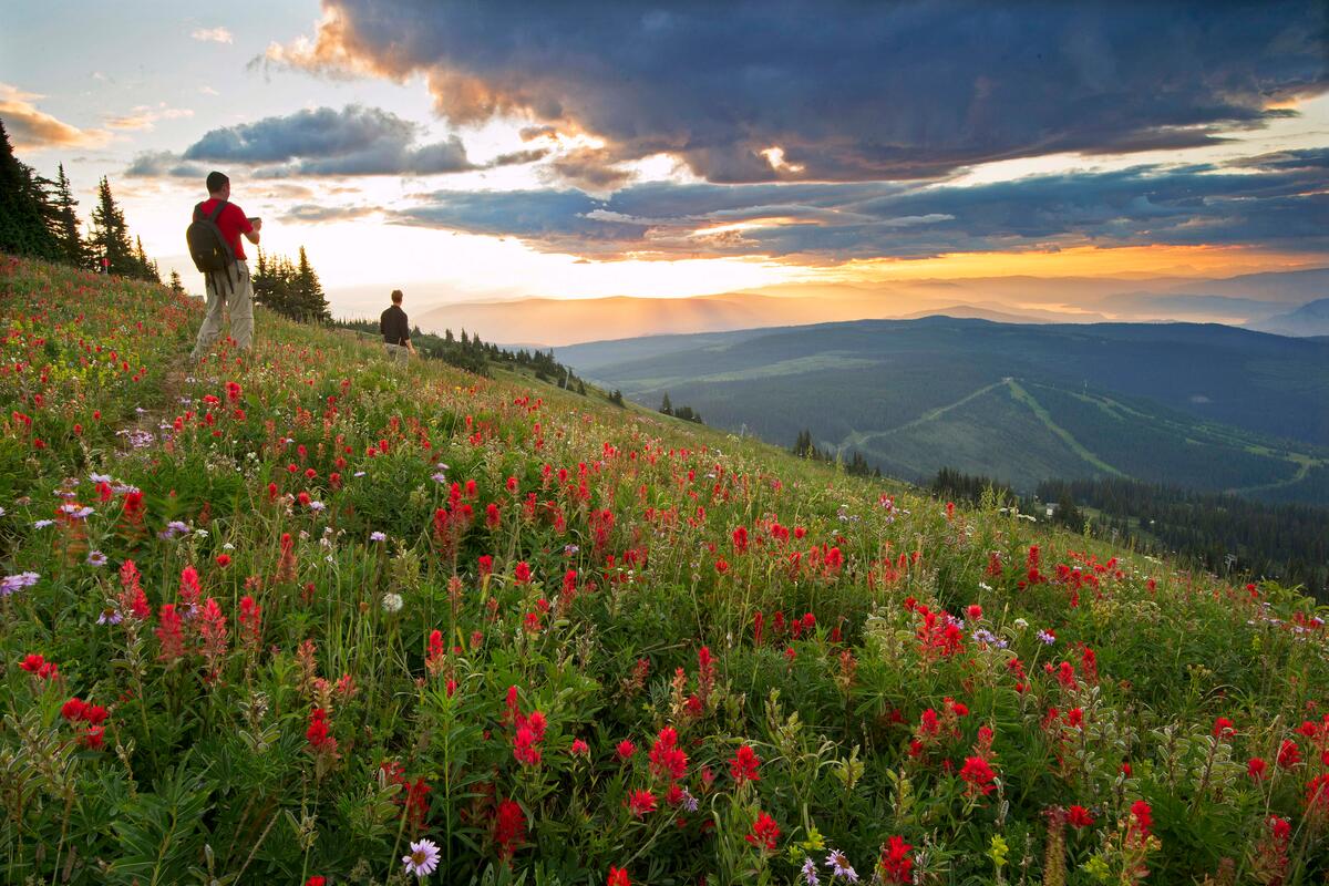
As you make the drive north towards Sun Peaks, you’ll notice the landscape quickly change from desert grasslands to mountain forests. You’ll spend much of today enjoying the scenic alpine trails at the ski resort, riding the lifts for the panoramic views, or having a quiet meal in the village.
In the evening, head out of Sun Peaks and find a spot to camp nearby. The area quiets down quickly once you leave the village, with forest and mountain roads replacing the ski-town traffic. Enjoy a vibrant mountain sunset as you get ready for one of the most exciting days of the trip.
Wells Gray Provincial Park
A short drive north takes you to Wells Gray Provincial Park, home to some of the most scenic waterfalls in all of Canada. Enjoy a quick coffee in Clearwater, a local town dubbed as the “gateway to Wells Gray”.
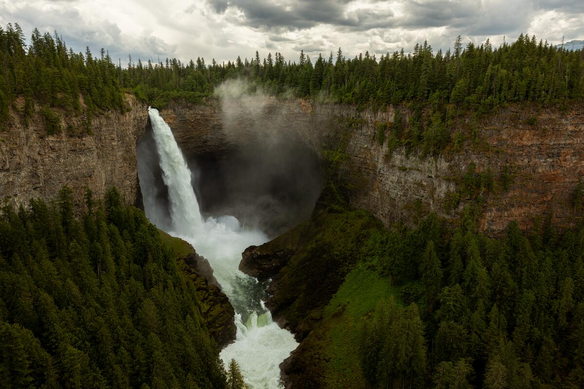
Today isn’t just about one waterfall, it’s about seeing all of them. Your photo of Helmcken Falls will probably be the one you post on Instagram, but you’ll stop along several spots on the waterfall corridor: Spahats Falls, Dawson Falls, and Moul Falls.
If you have more of the day, continue to Bailey’s Chute for salmon runs in late summer, or head towards Clearwater Lake for canoeing and longer hikes. Enjoy a peaceful night of camping alongside Clearwater Lake to cap off a highlight day of this trip.
Blue River to Valemount
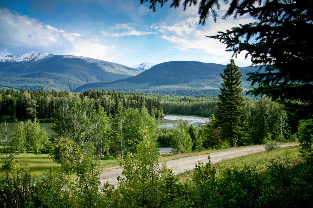
Leave Clearwater and follow the North Thompson River north towards Blue River. The valley opens up as you go, with floodplains, braided channels, and long stretches of forest. The highlight of the day is a Blue River Boat Safari, taking you by jet boat through the river delta in search of moose, bears, and other wildlife. It’s one of the best ways to see the valley and gives you a different perspective on the landscape.
Continue north through the Albreda Valley towards Valemount, where the mountains become larger and more dramatic. Stop along the way to explore the riverbanks and gravel bars, or simply enjoy the changing views from the road. By the time you reach Valemount, you’re surrounded by glacier-fed peaks. Spend the evening around Kinbasket Lake or explore the nearby marshlands before settling in for the night.
Mount Robson Provincial Park
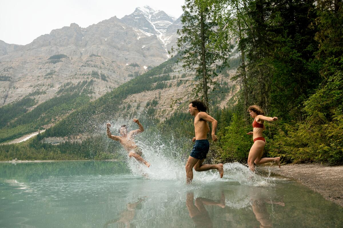
Head into Mount Robson Provincial Park and hike or bike the first section of the Berg Lake Trail towards Kinney Lake. The first section of the trail follows the Robson River through dense forest before opening up at Kinney Lake, with Mount Robson rising above the valley. At 3,954 m, it’s the highest peak in the Canadian Rockies, and the lake gives you a great vantage point without committing to the full Berg Lake hike. Breathtaking views of Mount Robson tower over the early parts of the trail on a clear day.
Return to Valemount for another night and spend the evening exploring Main Street. Grab dinner, wander through town, and enjoy a quieter evening before continuing east into the Rockies.
Prince George & Ancient Forest
Leave Valemount and follow Highway 16 west through the Robson Valley towards McBride. The road is the main attraction here, with changing views of Mount Robson, wide valley views, and plenty of quiet pullouts along the way. Around McBride, turn onto one of the gravel forestry roads into the side valleys, such as Beaver Creek or Swift Creek. Follow the road for a while, stop at a river or alpine-fed stream, and explore some of the meadows and smaller pullouts along the way.
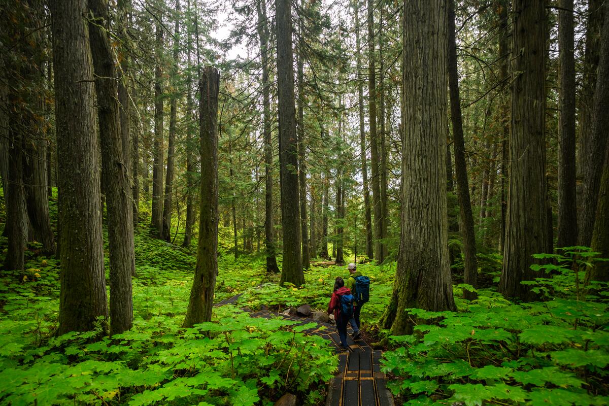
Continue towards Ancient Forest/Chun T’oh Whudujut Provincial Park) and take the boardwalk through the inland temperate rainforest. Massive cedar trees, moss, and filtered light make this one of the more unusual stops along the route. Beyond the park, look for a small recreation site or lake to stop for the evening. These places are often unsigned and easy to miss, but that’s part of the appeal.
Bowron Lake Provincial Park
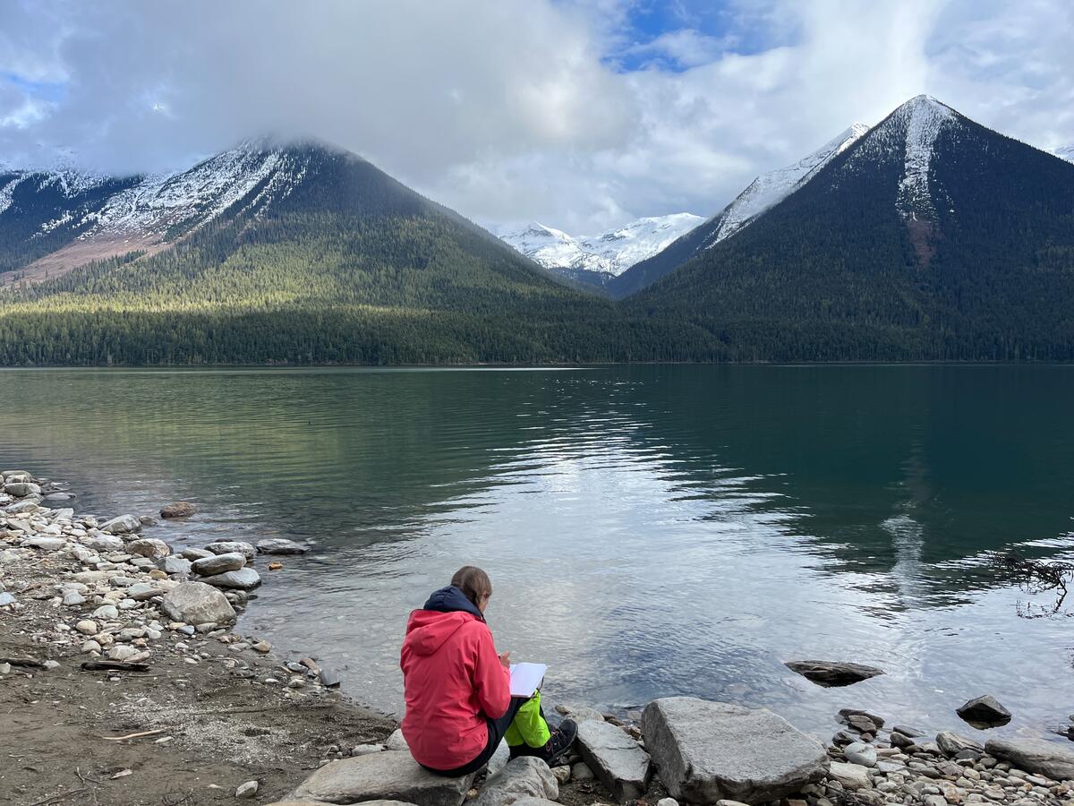
Leave the highway behind and head south towards Bowron Lake Provincial Park. The road gets quieter as you move deeper into the Cariboo Mountains, with dense forest, small lakes, and long stretches without much development. Once you reach Bowron Lake, get out on the water for a few hours by canoe or kayak, following the shoreline and watching for moose around the wetlands and loons across the lake.
Back on land, take one of the shorter forest trails near the lake or explore further into the surrounding valleys if you have the time. There’s no need to tackle the full canoe circuit to enjoy Bowron Lake. Spend the afternoon paddling, hiking, and exploring before finding a place to camp nearby for the night.
Quesnel to Chilcotin
Leave the lakes behind and follow Highway 97 south towards Quesnel, then turn east along the Quesnel River. The road follows the river through low valleys and dense forest, with plenty of places to pull over for a swim, a break by the water, or a quick look around. As you continue south, the forest gradually opens into the wide grasslands of the Chilcotin Plateau. The landscape changes quickly, with rolling hills, long sightlines, and almost no trees breaking up the horizon.
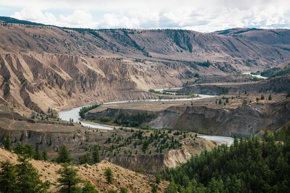
Make the detour to Farwell Canyon, where the Fraser River cuts through pale cliffs and hoodoos in the middle of the plateau. Walk down towards the river or follow the canyon rim for the best views, then continue onto the surrounding backroads if you have time. The Big Creek and Chilcotin FSRs lead deeper into the grasslands, where you can look for wild horses and find your own places to stop.
Loon Lake to Kamloops
Leave the pavement behind and take the Deadman–Vidette Road towards Loon Lake. Gravel replaces pavement and the route becomes more about exploring than getting somewhere quickly. Stop at Loon Lake, or detour to Mowich Lake and Snohoosh Lake for quiet water and forest. Along the way, look for Deadman Falls and the Castle Rock Hoodoos, two unexpected stops in a landscape that shifts between grassland and forest.
From here, work your way back towards Kamloops, with the road gradually bringing you back into the more familiar landscape. It’s a good final day for taking your time and making a few last stops before arriving back in Kamloops, where the trip ends where it started.